Key takeaways
- senseFly eBee series: Another established fixed-wing mapping platform aimed at surveying and agricultural use, worth comparing against the WingtraOne on payload options and regional support.
- Autel EVO series with RTK module: A multirotor alternative to the DJI Matrice line that some engineering firms use for smaller-scale mapping and inspection work.
- OpenDroneMap (ODM): An open-source photogrammetry alternative to Pix4D and Metashape, appealing to teams with in-house technical staff who want to avoid licensing costs, though it requires more setup and troubleshooting effort than commercial packages.
Engineers mapping large sites with the highest accuracy should pair a fixed-wing mapping drone such as the WingtraOne with RTK positioning and a desktop photogrammetry suite, while teams working smaller sites or needing fast turnaround typically do better with a multirotor like the DJI Matrice 300/350 RTK series running cloud-based processing. The right combination depends on site size, required accuracy, and whether the workflow needs to stay entirely in-house or can use cloud processing.
As an Amazon Associate, we earn from qualifying purchases made through links on this page.
Why Drone Choice and Software Choice Are Linked
A surveying drone’s job is to capture overlapping, geotagged images; the photogrammetry software’s job is to turn those images into a usable point cloud, orthomosaic, or digital surface model. Buying the drone and the software as separate decisions can create mismatches, since some drones integrate tightly with specific platforms (DJI’s ecosystem with DJI Terra, for example) while others are platform-agnostic and work with any major photogrammetry suite. Engineers should decide on required accuracy and deliverable type first, then pick a drone and software pairing that meets it, rather than choosing hardware based on specs alone.
Fixed-Wing Mapping Drones for Large Sites
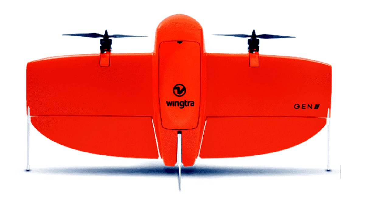
Fixed-wing drones like the WingtraOne fly in straight lines at a constant altitude, covering large areas per battery far more efficiently than a multirotor. The maker lists built-in RTK/PPK positioning, meaning the drone corrects its position in real time or in post-processing against a known reference point, which is what delivers survey-grade accuracy without laying out as many ground control points. These platforms suit corridor mapping, large earthworks sites, and agricultural-scale surveys where a multirotor would need many battery swaps to cover the same ground.
The tradeoff is operational complexity and cost of entry. Fixed-wing drones need a clear runway or launch area, are less maneuverable around obstacles like buildings or power lines, and are a poor fit for tight urban sites or vertical structure inspection.
Multirotor RTK Drones for Flexible Sites
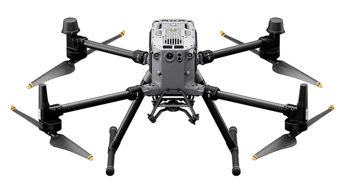
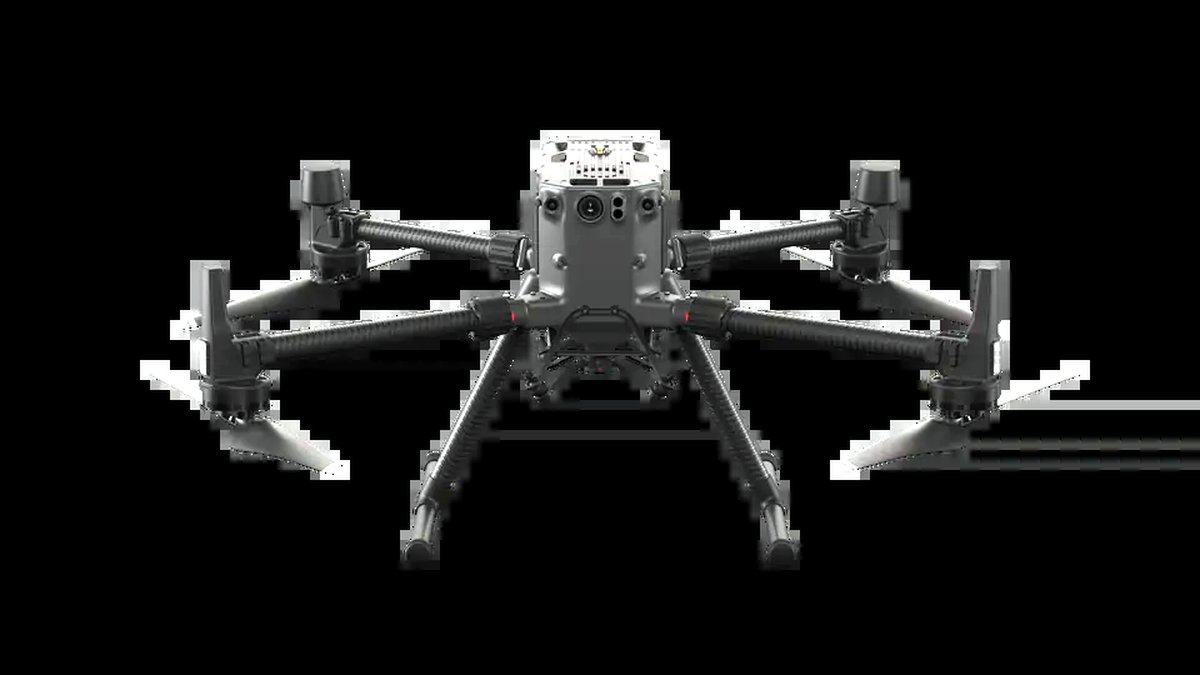
The DJI Matrice 300 RTK and its successor, the Matrice 350 RTK, are widely used in surveying and inspection work because they combine vertical takeoff and landing with integrated RTK modules and interchangeable payloads. Reviewers at industry outlets have noted these platforms’ ability to swap between a photogrammetry camera and a LiDAR or thermal payload on the same airframe, which appeals to engineering firms that need one drone to cover multiple survey types. Multirotors also handle confined sites, vertical structures, and obstacle-dense areas far better than fixed-wing designs.
The compromise is coverage efficiency: multirotors fly slower and need more battery swaps to cover the same acreage as a fixed-wing platform, so very large linear or agricultural sites take proportionally longer.
Compact RTK Options for Smaller Budgets
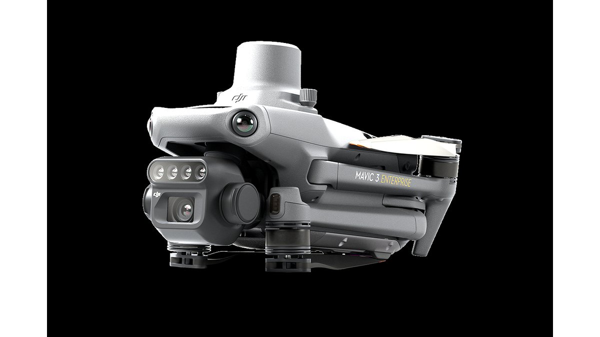
For engineering teams handling smaller parcels, compact RTK-equipped quadcopters offer survey-relevant accuracy in a lighter, simpler package than the full Matrice line. These models generally trade payload flexibility and raw battery life for a lower cost of entry and an easier learning curve, which suits firms doing occasional mapping rather than daily large-scale survey work.
Photogrammetry Software: Pix4D, DroneDeploy, and Agisoft Metashape
Pix4Dmapper and Pix4Dsurvey are built specifically around survey and engineering deliverables, including volumetric calculations, contour generation, and point cloud classification, and the company states its software supports ground control point workflows for accuracy verification. DroneDeploy runs primarily as a cloud platform, which simplifies collaboration across a team but depends on upload speed and internet access on site. Agisoft Metashape is a desktop application favored by engineers who want full local control over processing without a subscription tied to cloud credits, though it has a steeper learning curve than DroneDeploy’s guided workflow.
DJI Terra deserves a separate mention because DJI designs it to work closely with its own drone telemetry and RTK data, which can simplify the pipeline for teams already standardized on DJI hardware, though it offers less flexibility than Pix4D or Metashape for teams using mixed-brand equipment.
At a Glance: Drone and Software Pairings
| Platform | Best For | Key Stated Specs | Limits |
|---|---|---|---|
| WingtraOne (fixed-wing VTOL) | Large sites, corridor and agricultural mapping | Maker lists integrated RTK/PPK, long per-flight coverage | Needs open launch area, poor for confined or vertical sites |
| DJI Matrice 300/350 RTK | Mixed survey and inspection work | Integrated RTK module, interchangeable payload bays | Slower area coverage than fixed-wing, higher cost of entry |
| Compact RTK quadcopters | Small parcels, occasional survey work | Built-in RTK, lighter and simpler to operate | Less payload flexibility, shorter range |
| Pix4Dmapper / Pix4Dsurvey | Survey-specific deliverables | Volumetric and contour tools, GCP support stated by maker | Subscription cost, desktop processing time on large datasets |
| DroneDeploy | Team collaboration, fast turnaround | Cloud processing, shared dashboards | Depends on internet access and upload speed on site |
| Agisoft Metashape | Full local processing control | Desktop license, no recurring cloud fee stated for processing | Steeper learning curve than guided cloud tools |
Pick X If…
| If You… | Choose |
|---|---|
| Survey large corridors, farms, or earthworks sites regularly | WingtraOne or similar fixed-wing RTK drone with Pix4D |
| Need one drone for both mapping and structural inspection | DJI Matrice 300/350 RTK with interchangeable payloads |
| Handle small parcels occasionally, not daily | A compact RTK quadcopter with DroneDeploy |
| Want full local data control without cloud subscriptions | Any RTK drone paired with Agisoft Metashape |
| Are already standardized on DJI hardware | DJI Matrice series with DJI Terra |
Compatibility and Workflow Notes
RTK accuracy depends on a stable correction source, either a local base station or a network RTK/NTRIP service; engineers should confirm their drone’s RTK module supports the correction service available in their survey area before relying on it for final deliverables. Ground control points remain good practice even with RTK-equipped drones, since they provide an independent accuracy check that most engineering deliverables and clients expect to see documented. Software licensing also varies: some photogrammetry platforms charge per-project or per-area, which matters for firms processing many small sites versus a few large ones.
Alternatives Worth Considering
- senseFly eBee series: Another established fixed-wing mapping platform aimed at surveying and agricultural use, worth comparing against the WingtraOne on payload options and regional support.
- Autel EVO series with RTK module: A multirotor alternative to the DJI Matrice line that some engineering firms use for smaller-scale mapping and inspection work.
- OpenDroneMap (ODM): An open-source photogrammetry alternative to Pix4D and Metashape, appealing to teams with in-house technical staff who want to avoid licensing costs, though it requires more setup and troubleshooting effort than commercial packages.
Frequently Asked Questions
Is RTK necessary, or can engineers rely on standard GPS plus ground control points?
Standard GPS combined with well-distributed ground control points can achieve strong accuracy, but it requires more time on site placing and surveying those points. RTK-equipped drones reduce that field time by correcting position during flight, which is why many engineering firms now prefer RTK platforms for repeat survey work even though ground control points are still recommended as a quality check.
How much site coverage can a typical survey drone achieve per flight?
Fixed-wing platforms generally cover substantially more ground per battery than multirotors because they fly faster and more efficiently in forward flight. The exact area depends on required image overlap, resolution, and altitude limits set by local aviation rules, so engineers should check the specific coverage figures the maker lists for their chosen camera and altitude combination rather than assuming a universal number.
Do engineers need a remote pilot certification to fly these drones commercially?
In most jurisdictions, commercial drone survey work requires an operator to hold a recognized remote pilot certification and follow local aviation authority rules on altitude, airspace, and visual line of sight. Firms should confirm current requirements with their national aviation authority, since rules and any waiver processes can change and vary significantly by country.
Can the same drone be used for both aerial photography and survey-grade mapping?
Some platforms, particularly multirotors with interchangeable payloads, can switch between a standard camera and a survey-oriented sensor, making dual use feasible. However, survey-grade accuracy also depends on flight planning software, overlap settings, and RTK or ground control workflows, so simply owning a capable drone is not enough; the capture workflow has to be set up for mapping rather than casual photography.
How does cloud-based software like DroneDeploy compare to desktop tools for data security?
Cloud platforms process imagery on remote servers and typically publish their own data handling and security policies, which engineering firms with sensitive client sites should review before uploading imagery. Desktop tools like Agisoft Metashape keep data processing local, which some firms prefer for confidential infrastructure or government projects regardless of cloud providers’ stated security measures.
What deliverables can engineers expect from a typical photogrammetry workflow?
Common outputs include orthomosaics (stitched, georeferenced aerial images), digital surface models, point clouds, and volumetric reports for stockpiles or earthworks. The specific deliverables available depend on the software package and the drone’s sensor; engineers needing classified point clouds or contour lines for CAD import should confirm the specific software tier supports that export format before relying on it for a client deliverable.